
Oregon announces strategy to create fire-resilient communities
- September 27, 2022
- 9:31 am

Iain Hoey
Share this content
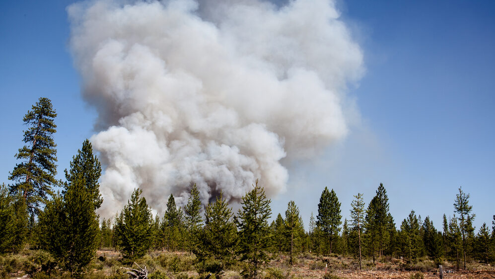
The Oregon Department of Forestry (ODF) announced a revised action plan and timeline for engaging the public on wildfire protection efforts as part of the state’s strategy to create more fire-resilient communities.
“A big part of our work over the next year is focused on engaging with, listening to and informing the public about wildfire risk,” said Cal Mukumoto, Oregon State Forester and director of ODF.
“This engagement will involve visiting communities across the state, talking with people, addressing concerns and answering questions. Ultimately, all of the agencies involved in this effort want to make sure Oregonians in the most at-risk communities know what they can do to better protect themselves, their families and friends, and their homes from wildfire.”
The revised plan will be implemented in collaboration with Oregon State University’s (OSU) College of Forestry, the Oregon State Fire Marshal (OSFM) and the Department of Consumer and Business Services (DCBS).
Doug Grafe, Wildfire Programs Director with the Office of the Governor, said: “Most Oregonians understand wildfires are becoming more catastrophic and more frequent. I have witnessed, across the state, that Oregonians want to be part of the solution in protecting our communities.
“It’s clear that steps can be taken to increase the survivability of homes and communities when wildfires do occur, including creating defensible space, hardening homes and implementing hazardous fuels reduction projects.”
One component of SB 762 was the creation of a state-wide wildfire risk map to serve as a planning and information tool for Oregonians, communities and state and local government. The purpose of the map—a collaboration between ODF and wildfire scientists at OSU’s College of Forestry—is to provide transparent and science-based information to Oregonians about the factors near them that drive wildfire exposure including weather, climate, vegetation and topography. The tool will also be used to guide the state in directing resources to communities with the greatest likelihood of wildfires.
“Oregon State University’s College of Forestry has used, and will continue to use, the best science to contribute to state-wide wildfire risk mapping,” said Tom DeLuca, dean of OSU’s College of Forestry. “
We support the importance of changing the timeline for the mapping component of SB 762. This added time provides an opportunity to better share information and conduct authentic community engagement by listening to Oregonians and community leaders across our state in the implementation of the new law.
“Even with the timeline change, we must all recognize that addressing fire risk in Oregon is a priority that will require all of us to work together.”
The revised timeline is as follows:
- October through February 2023: Public and stakeholder engagement, outreach and education. Includes wildfire science, risk and mitigation outreach and education, with focus on the most vulnerable areas; identifying opportunities for investments in wildfire prevention; completing building codes and defensible space standards for the most vulnerable communities; compilation and analysis of feedback received; and technical refinements.
- March 1, 2023: Public rollout of draft wildfire risk map. Draft map shared with the public.
- March through September 2023: Public outreach, engagement and education on draft wildfire risk map. Includes working with ODF, OSU College of Forestry, local governments, planning departments, Department of Land Conservation and Development, Oregon State Fire Marshal and the state Building Codes Division to review the draft map; public outreach, education and engagement on the draft map and related topics including building codes and defensible space standards; and making any necessary revisions based on feedback received on updated map.
- October through December 2023: Final wildfire risk map shared with the public for implementation. Includes sharing a final wildfire risk map with the public, initiating a 60-day appeals process and notifying those who are in the most high-risk areas about the steps needed to protect their homes and properties from catastrophic wildfires and how to comply with defensible space standards and building codes.
Grafe commented: “The revised plan and timeline allow us to prioritize engagement, collaboration and communication. We are committed to ensuring people understand what they can do to increase the likelihood their homes and properties will survive wildfires. The wildfire risk map is one of several tools we will use to inform this work.”
SB 762 directs state agencies to focus resources in Oregon’s highest-risk areas to ensure homes are adhering to building codes and defensible space standards. These building codes and defensible space standards will not be adopted or implemented until the wildfire risk map is finalized in late 2023, but will be available in the near future so people can familiarize themselves with the new expectations.