Wildfire detection: Optimising hazard awareness with real-time data from Indji Systems
- May 1, 2024
- 10:49 am

Iain Hoey
Share this content
Importance of accurate wildfire data
Accurate wildfire information is increasingly crucial as wildfires become more frequent, posing significant risks to both residential areas and remote industrial locations.
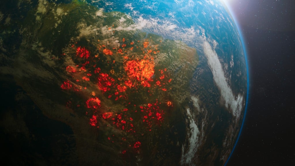
The data provided by NASA’s Fire Information for Resource Management System (FIRMS) is particularly valuable to Indji Watch customers globally, aiding in the timely awareness of natural hazards.
This information is vital for utility companies and renewable energy providers who manage infrastructure like transmission lines and solar arrays in secluded areas.
In an article for Earth Data, Mark Carinello, the product manager for Indji Systems, highlighted the critical role of this data: “Having [wildfire] hotspot data available to any company in North America or anywhere in the world is hugely important,” Carinello said: “Without it, we and our customers would have much less awareness of where fires are right now and how they might impact their work.”
Technology and satellite data in fire detection
Indji Systems integrates satellite data into its Indji Watch system to offer real-time monitoring and alerts.
This system is essential for managing the risks associated with natural hazards like wildfires and lightning strikes.
Carinello explained the direct benefits of this approach: “If you have staff up on a wind turbine 100 meters above the ground in the open countryside of west Texas, you don’t want to be out there when there’s lightning.
“If you’re working in a canyon for a utility in California and there’s a wildfire 10 miles away, it might take you a while to get out of that area.”
The FIRMS platform provides critical near-real-time (NRT) and ultra-real-time (URT) data, which are instrumental in detecting and tracking wildfires.
This data includes satellite imagery, active fire, and hotspot information that helps users pinpoint the location, extent, and intensity of wildfire activity.
Enhanced fire detection capabilities
The integration of FIRMS data has proven indispensable for Indji Systems.
“Fire can a be a tough natural hazard to detect and getting the best information is a continuous challenge,” Carinello noted.
He further detailed the advantages of satellite data in fire detection, particularly in remote locations where traditional reporting may be unreliable.
FIRMS’ data, derived from instruments like the Moderate Resolution Imaging Spectroradiometer (MODIS) and the Visible Infrared Imaging Radiometer Suite (VIIRS), offers timely updates that are crucial for the safety of remote operations.
IFSJ comment
The use of advanced satellite data for fire detection and management by Indji Systems exemplifies the importance of technological integration in enhancing hazard awareness and infrastructure safety in the energy sector.
This proactive approach ensures the safety of personnel and minimizes the risk to critical infrastructure, showcasing a commitment to operational continuity and environmental responsibility.