King’s College London designing better methods to mitigate wildfire
- August 18, 2022
- 7:09 am
Iain Hoey
Share this content
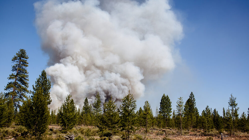
As parts of Europe face their worst ever wildfire season, experts at King’s College London are working with partners across the continent to design and implement better methods for mitigating this threat.
King’s experts from the Department of Geography and the Leverhulme Centre for Wildfires, Environment and Society are working on improved detection and monitoring of fires as well as helping estimate the effect of the smoke on air quality and people’s health.
The work falls under FirEUrisk, a European-funded project that fosters knowledge transfer between European countries, with the aim of preventing and managing the threat posed by major wildfires. The project is a multi-million Euro project made up of 39 expert partners which aims to develop guidelines, directives and recommendations that can be adopted by all European countries.
Professor Martin Wooster said: “This project aims to deliver a step-change in how wildfires are managed across Europe. Particularly bad fires are unfortunately quite frequent in parts of southern Europe such as Portugal and Spain, but hotter, drier conditions in the UK and Northern Europe may see more fires in those environments as well.
“With the wealth of expertise at King’s in this area, we’re able to contribute vital capabilities such as how to use satellites for the early detection and ongoing monitoring of wildfire events. Working with others, we can also better understand how the smoke from these fires affects the health of the location population, which can be quite significant even hundreds of kilometres downwind.”
Aided by European satellites, the King’s team use algorithms to translate the raw satellite data into digestible information and support the early detection and ongoing monitoring of fires across Europe.
They are also able to use the satellite data to estimate the amount of smoke released by the fires the impact this has on the quality of the air people breathe and how this air pollution affects people’s health.