Bosnia and Herzegovina unveils interactive GIS map to mitigate forest fire risks
- May 1, 2024
- 10:26 am

Iain Hoey
Share this content
Development and features of the new GIS map
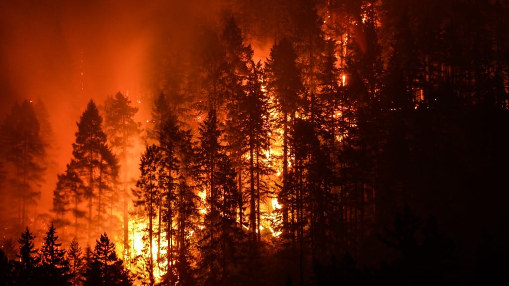
Bosnia and Herzegovina has developed its first interactive Geographic Information System (GIS) map to identify areas vulnerable to forest fires.
This innovative tool aims to enhance preventive measures and risk management.
The map, accessible on the website ‘Za šume bez vatre’, highlights high-risk zones and is part of a broader project aimed at reducing the forest fire threat in the context of climate change across the country.
The project is supported by multiple local institutions and international partners, reflecting a collaborative effort to bolster environmental safety and awareness.
The presentation of the GIS map and a comprehensive draft roadmap for reducing forest fire risks took place at a workshop in Banja Luka, organized by the Forestry and Environment Initiative (FEA).
The event saw attendance from representatives of pertinent governmental and forestry entities, underlining the widespread recognition of the need for strategic planning in forest fire management.
Importance and impact of the GIS map
Project coordinator Lejla Hukić highlighted the significance of the map in improving responses to forest fire risks in Bosnia and Herzegovina.
The map is important for enhancing our understanding of forest fire dynamics and for planning more effective interventions, Hukić said.
She emphasised the expected outcomes of using the map, which include increased resilience to fires and reduced damage from such events.
The initiative underlines a significant step towards integrating technology and environmental management to safeguard natural resources and communities.
Moreover, the map facilitates comprehensive data collection, analysis, and visualisation of fire-exposed areas, streamlining the process for identifying key risk factors and priority areas for action.
According to Hukić, the tool will be beneficial to a wide range of stakeholders, from policymakers to local communities, enhancing the collective capability to address forest fire threats effectively.
Regional significance and expert insights
Miroslav Rakita, representative of the Landscape Fire Management program, mentioned that this GIS map is among the first of its kind in the region, setting a precedent for neighbouring countries.
He also critiqued the existing official data, suggesting that it often underreports the extent of fire damage, an issue the new GIS map aims to correct.
Rakita further noted the discrepancies in official reports concerning the area affected by fires in the Republic of Srpska, indicating a figure twice as large as reported.
“I can conclude that satellites don’t lie and I believe data used this way is more relevant than official data, which is often not regularly updated,” Rakita said.
This statement points to the critical role of reliable data in environmental management and the potential for technology to provide more accurate insights than traditional methods.
IFSJ Comment
By leveraging digital technology and collaborative efforts, the introduction of an interactive GIS map by Bosnia and Herzegovina aims to enhance the immediate response to fires and also contributes to long-term environmental planning and safety.
Such technological advancements are crucial for countries facing increasing threats from natural disasters, exacerbated by climate change.